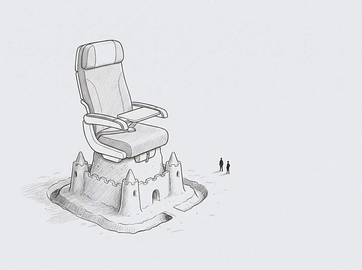
Meaning
Multidimensional metrics that track the physical or architectural location, density, and movement of operational assets provide positional visibility across an enterprise’s functional footprint. Within spatial analytics and facilities optimization, spatial performance data records the physical distribution of hardware, personnel, and inventory across real-world or virtual topologies. It yields cardinal coordinate measurements and distance vectors that inform facility utilization, logistics routing, and regional expansion decisions.
The framework stops applying when operational activities become purely abstract and untethered from physical or network topology.
Positional Mapping
Structured geographic and topological logging records the real-time position and operational status of physical infrastructure, logistics fleets, and warehouse assets. Analyzing spatial performance data allows operations teams to identify localized bottlenecks, transit delays, and capacity imbalances across regional nodes. Quantitative spatial coordinates turn physical movements into structured analytical datasets.
Distribution layouts improve as physical asset movements are systematically measured.
Density Optimization
Tracking asset concentration across physical locations highlights underutilized real estate and over-concentrated operational risks. Through spatial performance data, leadership evaluates square-footage yield, regional server latency gradients, and facility-specific labor throughput. Resource rebalancing shifts operational loads from congested facilities to underutilized regional hubs, optimizing overall physical efficiency.
Capital expenditure follows empirical utilization maps rather than rough geographic estimates.
Topological Boundaries
Environmental factors such as local transit infrastructure, municipal regulations, and regional energy grids impose hard limits on physical operational expansion. Spatial performance data must account for these external geographic constraints when modeling supply chain networks or new facility placements. As physical distances increase, latency, transport costs, and coordination friction scale predictably along spatial vectors.
Geographic modeling grounds operational plans in physical reality.